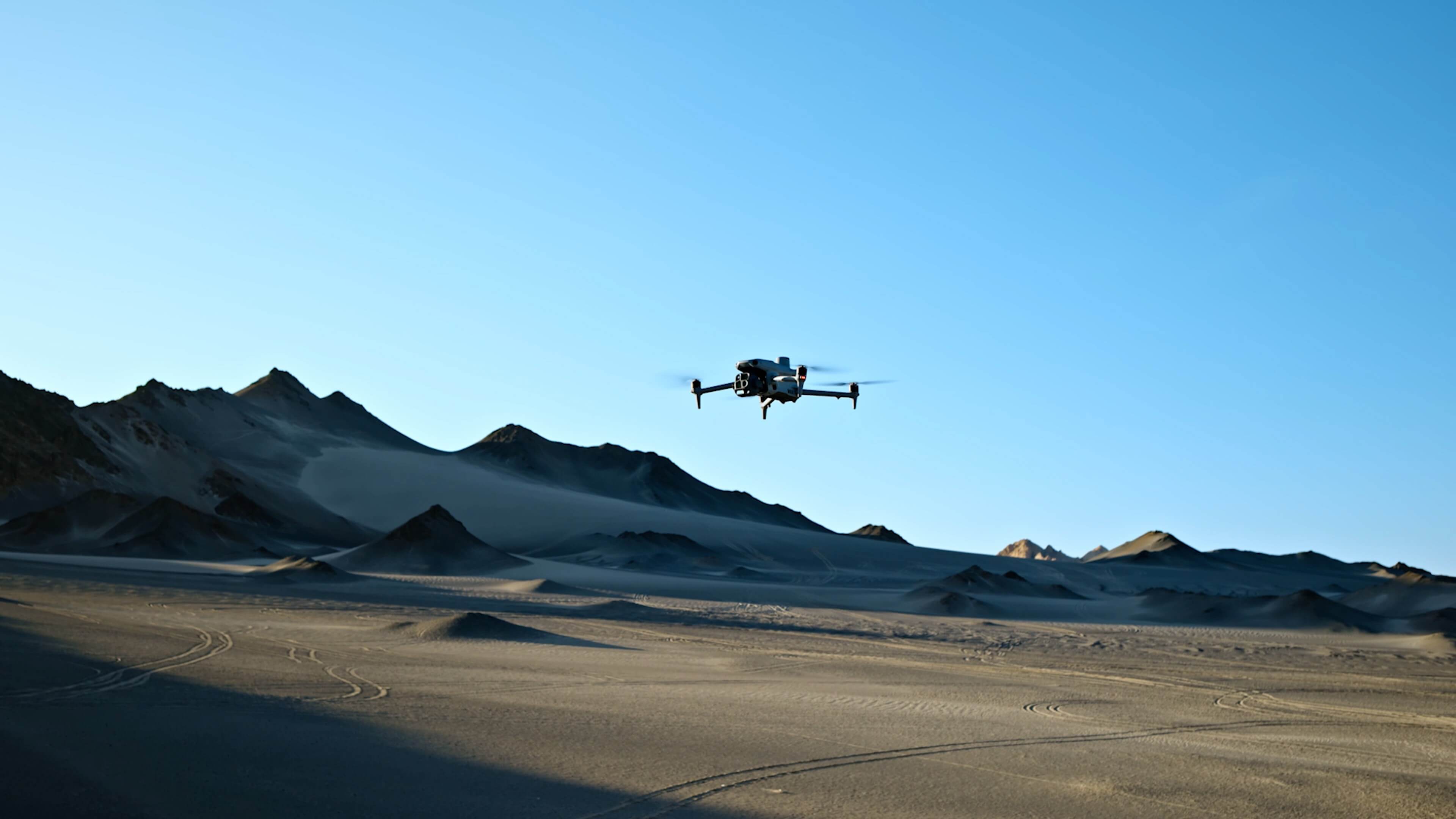
Matrice 4E
A compact DJI Enterprise platform designed for geospatial work, including surveying, mapping and construction documentation. Discuss the capture workflow and expected deliverables.
AUTHORIZED DJI ENTERPRISE DEALER
AgroLink Aerialytics supplies DJI Enterprise equipment and support for mapping, inspection and professional field operations across Alberta. From Sylvan Lake, we help teams select aircraft, sensors and supporting equipment around the information they need to collect.
A mapping project and a thermal inspection program can have different capture, positioning and sensor requirements. Describe the site, intended output and repeat-flight needs so we can discuss a suitable configuration.
A compact DJI Enterprise platform designed for geospatial work, including surveying, mapping and construction documentation. Discuss the capture workflow and expected deliverables.
A multi-sensor platform for thermal and visual work in inspection, public safety and other field applications. Review the sensor requirements and operating environment.
A larger enterprise platform for demanding missions and payload requirements. Compare the aircraft, compatible sensor and power setup as one system.
We help review batteries, charging, positioning, software, data handling and the support your crew needs. Where appropriate, discuss dock-based operations, payloads and repeatable mission planning alongside the aircraft.
Before ordering, confirm the exact regional configuration, payload compatibility and included support in your quote. Equipment capability and permission to conduct an operation are separate planning questions.
AgroLink is an authorized DJI Enterprise and Agriculture dealer based in Sylvan Lake. We support equipment enquiries from across Alberta, including Red Deer, Slave Lake and Central Alberta. Tell us your model or intended application when requesting parts or service.
For an existing fleet, include the aircraft and payload models, the issue you are trying to resolve and any planned changes to the work. That gives our team a useful starting point for a parts or support discussion.
The choice depends on the sensor, deliverable, site, payload and field workflow. Share those requirements so we can compare suitable platforms rather than selecting on the airframe alone.
Yes. AgroLink provides thermal and visual data collection for inspection projects, as well as equipment and support for teams operating their own aircraft.
Yes. We can discuss the aircraft, sensor, power, software and support together and confirm the included configuration in your quote.