Custom application
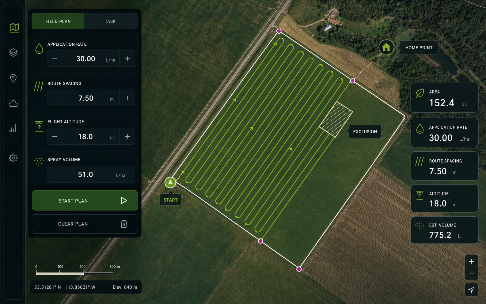
Drone spraying, seeding and application planning for Alberta farms, pasture and vegetation programs, matched to field geometry, product requirements and site conditions.
- Field mapping
- Application planning
- Operational records
 Start a project
 Central Alberta aerial operations
Better field decisions, from above. AgroLink supplies DJI equipment and provides agricultural application and professional drone services across Alberta. Based in Sylvan Lake, we support projects from Central Alberta and Red Deer to Slave Lake.
Authorized equipment solutions
DJI ENTERPRISE · DJI AGRICULTUREAgroLink Aerialytics is an authorized DJI Enterprise and Agriculture dealer for equipment, parts, and service—helping operators match aircraft, payloads, batteries, charging, software, training, and support to the job.
Explore equipment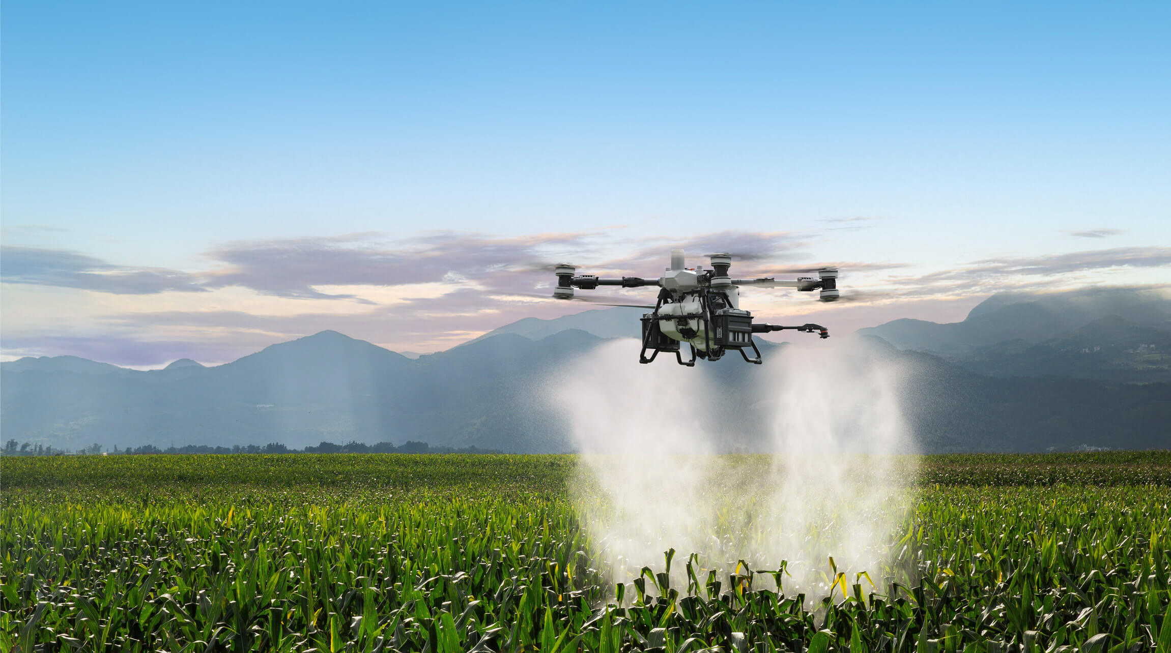
Technology is only useful when it improves the decision on the ground.
What we do
Every project begins with the outcome you need—not the aircraft we want to fly.
Drone spraying, seeding and application planning for Alberta farms, pasture and vegetation programs, matched to field geometry, product requirements and site conditions.
High-resolution imagery and repeatable field observations that help landowners see variability, document conditions, and make better-timed decisions.
Mission-to-deliverable capture for orthomosaics, 2D models, dense point clouds, 3D models, progress records, and BIM-ready coordination workflows.
Repeatable visual and thermal data acquisition for facilities, pipelines, utilities, roofs, towers, renewable assets, and hard-to-reach infrastructure.
Aerial situational awareness for vegetation, wildlife, wildfire hotspots, search support, security, and time-sensitive site documentation.
Paid SFOC application preparation and operational-planning support, with site-specific airspace, risk, access, emergency and crew considerations.
Industries & outcomes
AgroLink plans the collection around the decision, then delivers the imagery, model, map, measurement, or record your team can actually use.
Application support · crop and pasture imagery · multispectral capture · drainage and terrain context
Pipeline ROW · facilities · flare and thermal observations · powerlines · substations · solar and wind
Progress capture · orthomosaics · point clouds · 3D context · stockpiles · BIM coordination
Search support · wildfire hotspots · wildlife observation · emergency site intelligence
Complex mission capability
AgroLink is developing a custom-systems practice for government, forestry, industrial, remote-logistics, and emerging-technology missions where the aircraft, payload, communications, data, and operating plan must work as one system.
Nighttime thermal data acquisition for hotspot detection, wildfire overwatch, wildlife observation, search support, and forest-condition intelligence—planned around visibility, terrain, communications, airspace, and crew risk.
Aircraft, thermal and mapping payloads, positioning, communications, charging, software, field logistics, and deliverables configured around the mission instead of a generic package.
Josh and Travis each hold a Transport Canada Pilot Certificate – Level 1 Complex Operations. Every complex project remains subject to the required RPOC, aircraft declaration, operating conditions, and authorizations.
Preferred field stack
We select the stack to fit the mission, data requirement, terrain, and authorization—not the other way around. Availability and final configuration are confirmed during project planning.
Company-owned capability
AgroLink operates a deliberately mixed fleet of agriculture, enterprise, thermal, mapping, and multispectral platforms. Aircraft and payloads are selected around the required outcome, site, accuracy, crew, and operating authorization.
Availability remains subject to maintenance status, weather, airspace, crew, and project-specific authorization.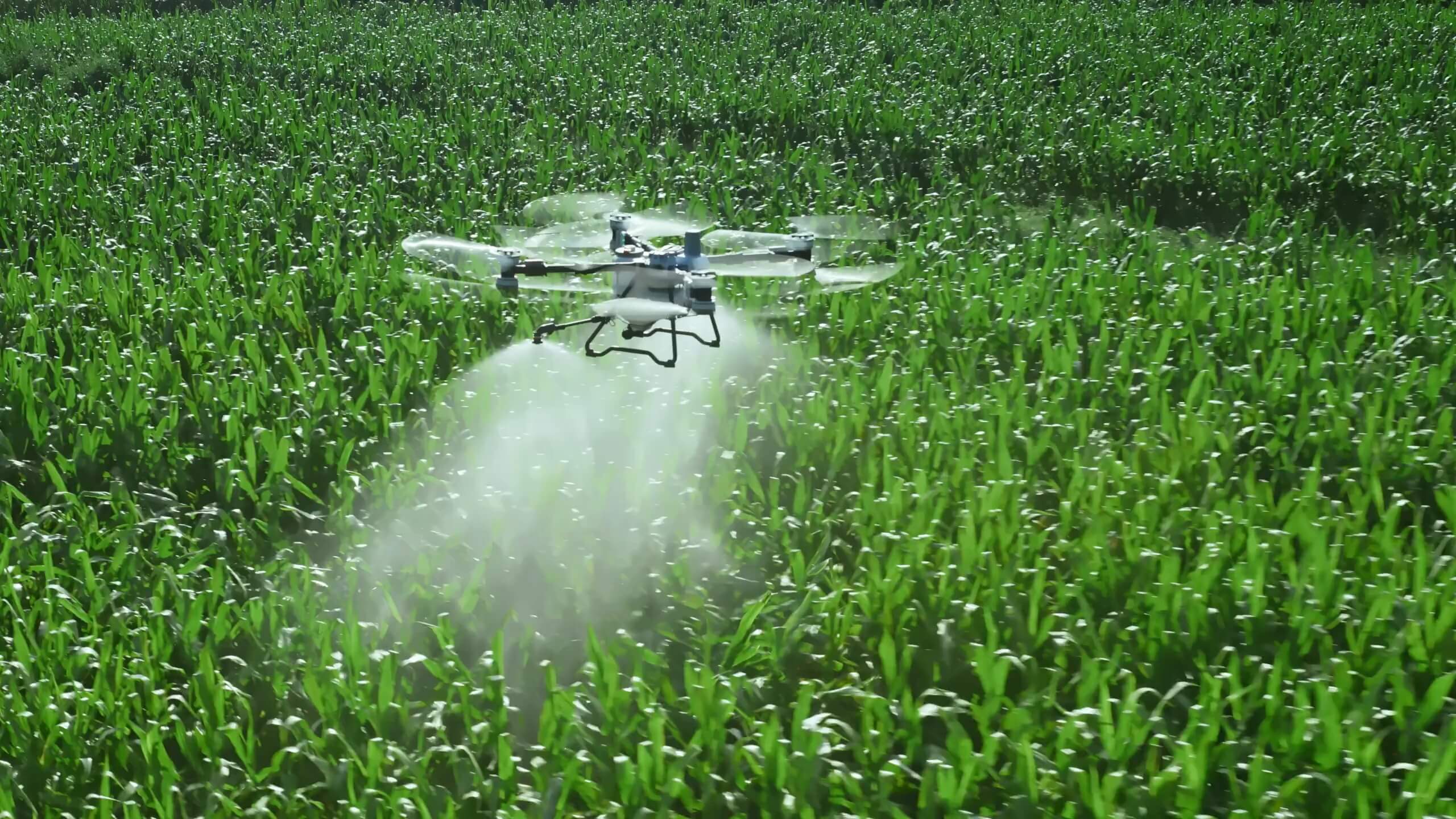
High-capacity precision spraying, spreading and seeding, site-specific application, and large-acreage field workflows.
Modular enterprise aircraft for long-duration thermal, inspection, mapping, environmental, and complex mission work.
Night forestry thermal work, wildfire hotspot observation, utilities, industrial inspection, wildlife, and search support.
High-resolution orthomosaics, digital twins, 2D and 3D models, corridor capture, and repeatable site documentation.
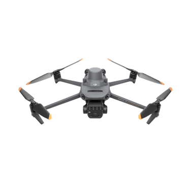
RGB and multispectral crop-health surveys, scouting priorities, prescription-map support, and farm digital-twin updates.
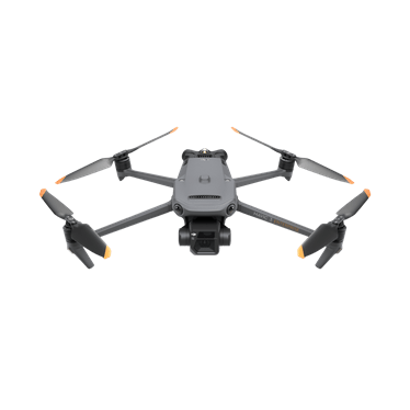
Rapid thermal inspection, forestry and wildlife observation, search support, facility scans, and field reconnaissance.
Orthomosaics, progress capture, stockpile measurement, site records, and efficient small-area mapping.
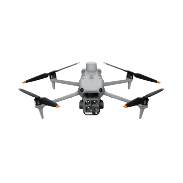
Thermal and low-light inspection, public-safety support, environmental response, and fast complex-site deployment.
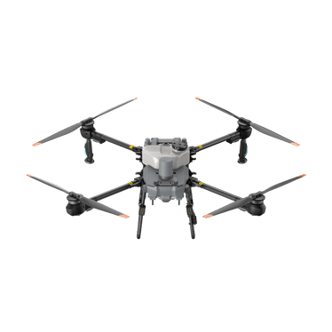
A compact, transportable agriculture platform planned for flexible precision spraying, spreading, mapping, and solo field operations.
Official DJI details →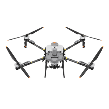
A high-capacity agriculture platform planned for efficient spraying, spreading, lifting, and demanding commercial field operations.
Official DJI details →Farm intelligence
A farm digital twin turns aerial imagery, field boundaries, terrain, drainage, access, infrastructure, and crop observations into one living, georeferenced record. It gives the farm a reliable baseline that can be updated after each survey instead of starting over every season.
Bring property geometry, elevation, buildings, roads, water, treatment zones, exclusions, and operational notes together in a map your team can use for planning and documentation.
AgroLink selected the M3M for repeatable RGB and multispectral capture with RTK positioning. Consistent flights can reveal crop patterns that are difficult to judge from the road or from a single ground observation.
Multispectral scanning measures reflected green, red, red-edge, and near-infrared light to create vegetation-index layers. Repeat surveys can highlight uneven emergence, changing crop vigour, drainage-related stress, and priority areas for field scouting. The value comes from comparing verified changes over time, not from relying on a single colourful map.
After field verification, crop-health zones can help create prescription maps for site-specific spraying. That allows the application plan to focus on areas that need treatment instead of automatically blanket-spraying the entire field. Deliverables can also include orthomosaics, field summaries, KML or GeoJSON files, and digital-twin updates.
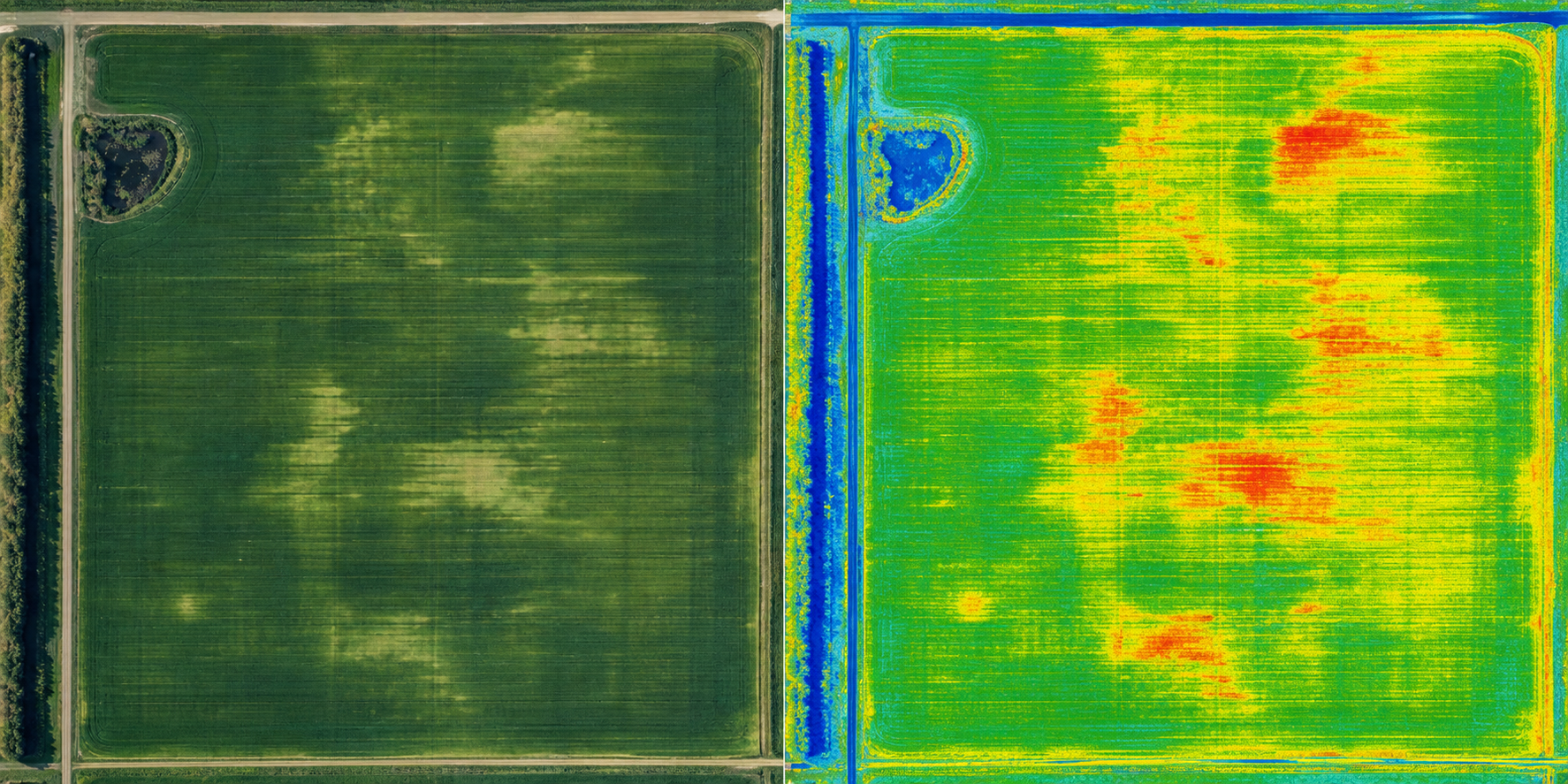 RGB baselineMultispectral response
RGB imagery documents visible field conditions. Multispectral layers compare crop reflectance across green, red, red-edge, and near-infrared bands to help prioritize where scouting and field verification should begin.
Multispectral imagery is decision-support information. Findings should be ground-truthed through field scouting and interpreted with qualified agronomic advice before crop-management decisions are made.
How we work
Clear scope, clear controls, and a documented plan before an aircraft leaves the ground. Specialized surveying, engineering, emergency, or regulated application work is performed only with the required qualified partners and authorizations.
Send the field location, acreage, objective, and preferred timing.
We review access, terrain, airspace, weather, equipment, and operational constraints.
You receive a clear scope before field work is scheduled.
By appointment
Because our work is specialized and the equipment is high-value, the AgroLink showroom is open by appointment only in Sylvan Lake, Alberta. The exact address is provided after an appointment is confirmed.
See equipment and discuss the right aircraft, payload, power, and support package.
Request an appointment ↗Compare agriculture, enterprise, delivery, positioning, and software options.
Book a consultation ↗Arrange diagnostics, maintenance coordination, configuration, or parts support.
Book service intake ↗Discuss mapping, thermal, agriculture, inspection, or complex mission requirements.
Schedule a project call ↗Guided property intake
Outline the property, treatment areas, hazards, access points, staging areas, and operational notes so our first conversation starts with useful site context. It helps us right-size the equipment recommendation—because the biggest or newest aircraft is not always the best fit.
Start with the site
For the fastest initial assessment, include the property location, approximate acreage, objective, and preferred timing.
Request a site assessment Project acceptance remains subject to site review, operational conditions, and applicable authorizations.